Terraced housing, Netherfield
Introduction
The photograph on this page of Terraced housing, Netherfield by Alan Murray-Rust as part of the Geograph project.
The Geograph project started in 2005 with the aim of publishing, organising and preserving representative images for every square kilometre of Great Britain, Ireland and the Isle of Man.

There are currently over 7.5m images from over 14,400 individuals and you can help contribute to the project by visiting https://www.geograph.org.uk
Terraced housing, Netherfield
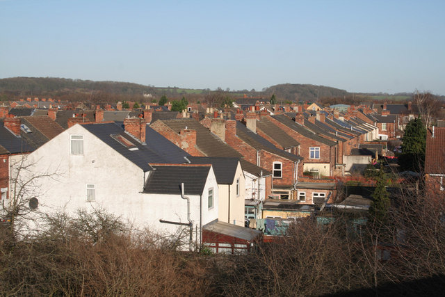
Image: © Alan Murray-Rust Taken: 14 Jan 2007
This area was essentially a railway village, arising from the development of a major locomotive stabling point and marshalling yards to handle coal from the Nottinghamshire coalfields.
Images are licensed for reuse under creativecommons.org/licenses/by-sa/2.0
Image Location
Latitude
52.961029
Longitude
-1.071446