Market Rasen east (aerial)
Introduction
The photograph on this page of Market Rasen east (aerial) by Chris as part of the Geograph project.
The Geograph project started in 2005 with the aim of publishing, organising and preserving representative images for every square kilometre of Great Britain, Ireland and the Isle of Man.

There are currently over 7.5m images from over 14,400 individuals and you can help contribute to the project by visiting https://www.geograph.org.uk
Market Rasen east (aerial)
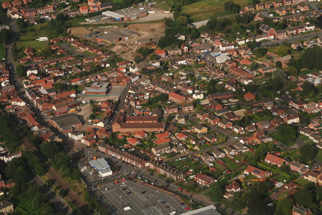
Image: © Chris Taken: 2 Sep 2012
This is the area east of the railway, with Tesco store and carpark at the bottom.
Images are licensed for reuse under creativecommons.org/licenses/by-sa/2.0
Image Location
Latitude
53.386493
Longitude
-0.335069