A finger post on St Helens (road)
Introduction
The photograph on this page of A finger post on St Helens (road) by Ian S as part of the Geograph project.
The Geograph project started in 2005 with the aim of publishing, organising and preserving representative images for every square kilometre of Great Britain, Ireland and the Isle of Man.

There are currently over 7.5m images from over 14,400 individuals and you can help contribute to the project by visiting https://www.geograph.org.uk
A finger post on St Helens (road)
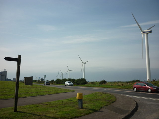
Image: © Ian S Taken: 9 Sep 2012
The Bridleway leads to High Seaton. The wind turbines are alongside the A596.
Images are licensed for reuse under creativecommons.org/licenses/by-sa/2.0
Image Location
Latitude
54.678358
Longitude
-3.535206