2012 : Maize field west of Stanton St. Quintin
Introduction
The photograph on this page of 2012 : Maize field west of Stanton St. Quintin by Maurice Pullin as part of the Geograph project.
The Geograph project started in 2005 with the aim of publishing, organising and preserving representative images for every square kilometre of Great Britain, Ireland and the Isle of Man.

There are currently over 7.5m images from over 14,400 individuals and you can help contribute to the project by visiting https://www.geograph.org.uk
2012 : Maize field west of Stanton St. Quintin
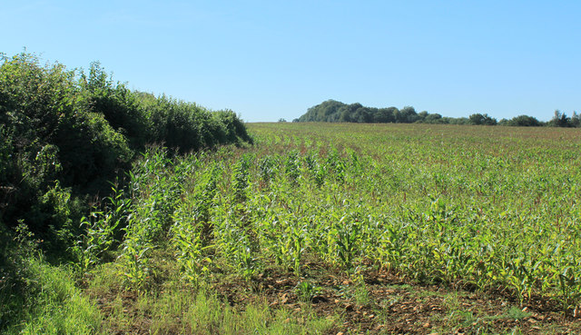
Image: © Maurice Pullin Taken: 7 Sep 2012
Early September and the corn should be as high as an elephants eye but this year the wet weather means it is struggling to reach a mouse's ear'ole. Not sure how it affects the crop but the cows could go hungry.
Images are licensed for reuse under creativecommons.org/licenses/by-sa/2.0
Image Location


Leaflet Map data © OpenStreetMap
Latitude
51.520431
Longitude
-2.158634