The junction of Brickhill Drive and Larkway.
Introduction
The photograph on this page of The junction of Brickhill Drive and Larkway. by Fred Round as part of the Geograph project.
The Geograph project started in 2005 with the aim of publishing, organising and preserving representative images for every square kilometre of Great Britain, Ireland and the Isle of Man.

There are currently over 7.5m images from over 14,400 individuals and you can help contribute to the project by visiting https://www.geograph.org.uk
The junction of Brickhill Drive and Larkway.
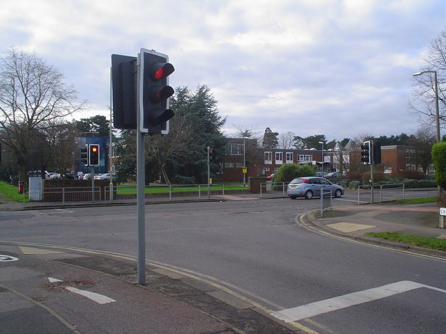
Image: © Fred Round Taken: 15 Jan 2007
Bedford endeavours to be a cycle-friendly town and has made a particular effort in the newer suburbs of Brickhill and Putnoe to provide cycle paths and other facilities to encourage residents to use cycles rather than cars. At this busy intersection sensors in the cycle path ensure that the traffic lights give priority to cyclists travelling to and from Bedford Park.
Images are licensed for reuse under creativecommons.org/licenses/by-sa/2.0
Image Location


Leaflet Map data © OpenStreetMap
Latitude
52.149898
Longitude
-0.45803