Footpath junction near Chestnut Wood
Introduction
The photograph on this page of Footpath junction near Chestnut Wood by David Anstiss as part of the Geograph project.
The Geograph project started in 2005 with the aim of publishing, organising and preserving representative images for every square kilometre of Great Britain, Ireland and the Isle of Man.

There are currently over 7.5m images from over 14,400 individuals and you can help contribute to the project by visiting https://www.geograph.org.uk
Footpath junction near Chestnut Wood
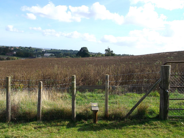
Image: © David Anstiss Taken: 6 Sep 2012
A path leads from Chestnut Wood Lane through a field. One path leads left through the field towards Chestnut Street. Another path heads right, slightly uphill towards Borden.
Images are licensed for reuse under creativecommons.org/licenses/by-sa/2.0
Image Location
Latitude
51.339387
Longitude
0.6868