High West House
Introduction
The photograph on this page of High West House by Robert Graham as part of the Geograph project.
The Geograph project started in 2005 with the aim of publishing, organising and preserving representative images for every square kilometre of Great Britain, Ireland and the Isle of Man.

There are currently over 7.5m images from over 14,400 individuals and you can help contribute to the project by visiting https://www.geograph.org.uk
High West House
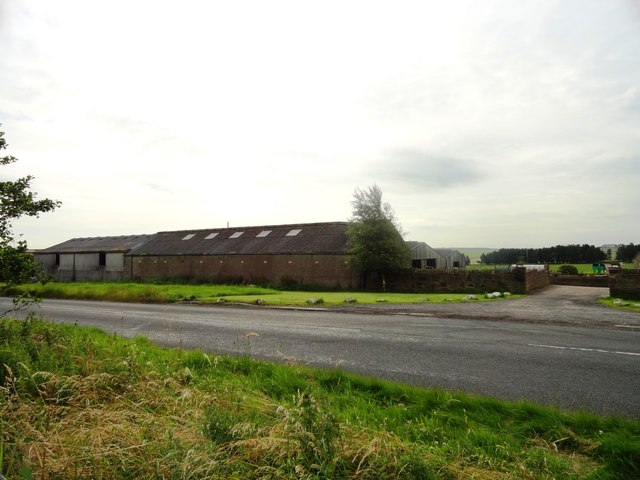
Image: © Robert Graham Taken: 15 Aug 2012
Farm on the B6301, leading east out of Tow Law to Lanchester.
Images are licensed for reuse under creativecommons.org/licenses/by-sa/2.0
Image Location
Latitude
54.751921
Longitude
-1.809024