Approaching West Forest Farm
Introduction
The photograph on this page of Approaching West Forest Farm by Phil Williams as part of the Geograph project.
The Geograph project started in 2005 with the aim of publishing, organising and preserving representative images for every square kilometre of Great Britain, Ireland and the Isle of Man.

There are currently over 7.5m images from over 14,400 individuals and you can help contribute to the project by visiting https://www.geograph.org.uk
Approaching West Forest Farm
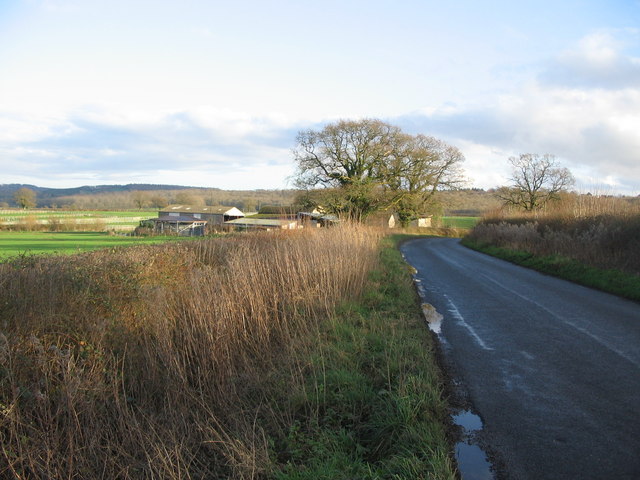
Image: © Phil Williams Taken: 14 Jan 2007
A view looking to the east along the lane to Gare Hill, showing the buildings of West Forest Farm over the hedge.
Images are licensed for reuse under creativecommons.org/licenses/by-sa/2.0
Image Location
Latitude
51.168671
Longitude
-2.331773