Eaton Road, Margate
Introduction
The photograph on this page of Eaton Road, Margate by John Baker as part of the Geograph project.
The Geograph project started in 2005 with the aim of publishing, organising and preserving representative images for every square kilometre of Great Britain, Ireland and the Isle of Man.

There are currently over 7.5m images from over 14,400 individuals and you can help contribute to the project by visiting https://www.geograph.org.uk
Eaton Road, Margate
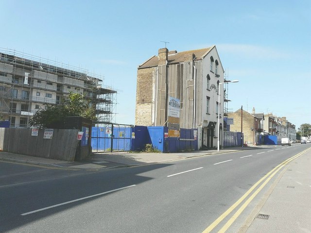
Image: © John Baker Taken: 5 Sep 2012
Flats are under construction on the left, next to the tall building in which numbers 65A and 65 are located. The next house is boarded up, so too the garage just beyond it.
Images are licensed for reuse under creativecommons.org/licenses/by-sa/2.0
Image Location
Latitude
51.384653
Longitude
1.38014