The Crawfordsburn near Crawfordsburn village (2)
Introduction
The photograph on this page of The Crawfordsburn near Crawfordsburn village (2) by Albert Bridge as part of the Geograph project.
The Geograph project started in 2005 with the aim of publishing, organising and preserving representative images for every square kilometre of Great Britain, Ireland and the Isle of Man.

There are currently over 7.5m images from over 14,400 individuals and you can help contribute to the project by visiting https://www.geograph.org.uk
The Crawfordsburn near Crawfordsburn village (2)
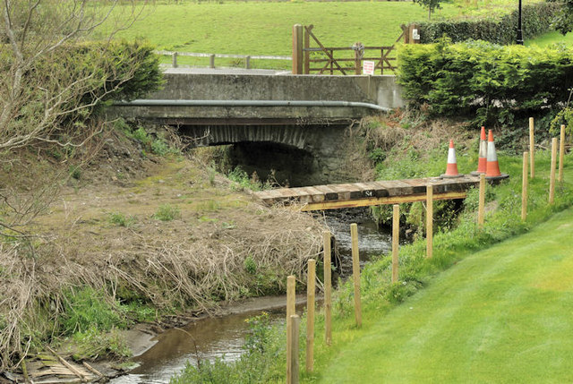
Image: © Albert Bridge Taken: 6 Sep 2012
See Image The view, upstream, from the same spot on the Cootehall road, as the river flows under two bridges to which there is no public access.
Images are licensed for reuse under creativecommons.org/licenses/by-sa/2.0
Image Location
Latitude
54.653844
Longitude
-5.725126