Diversion in the Taff Trail, Rhydyfelin
Introduction
The photograph on this page of Diversion in the Taff Trail, Rhydyfelin by Simon Mortimer as part of the Geograph project.
The Geograph project started in 2005 with the aim of publishing, organising and preserving representative images for every square kilometre of Great Britain, Ireland and the Isle of Man.

There are currently over 7.5m images from over 14,400 individuals and you can help contribute to the project by visiting https://www.geograph.org.uk
Diversion in the Taff Trail, Rhydyfelin
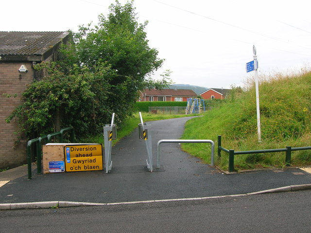
Image: © Simon Mortimer Taken: 8 Aug 2012
Looking north-west, at the point where the trail crosses Dynea Road. Cyclists and walkers are diverted into Rhydyfelin whilst the trail is closed during the construction of flood prevention measures.
Images are licensed for reuse under creativecommons.org/licenses/by-sa/2.0
Image Location
Latitude
51.58677
Longitude
-3.302319