Rochdale: Oldham Road
Introduction
The photograph on this page of Rochdale: Oldham Road by Dr Neil Clifton as part of the Geograph project.
The Geograph project started in 2005 with the aim of publishing, organising and preserving representative images for every square kilometre of Great Britain, Ireland and the Isle of Man.

There are currently over 7.5m images from over 14,400 individuals and you can help contribute to the project by visiting https://www.geograph.org.uk
Rochdale: Oldham Road
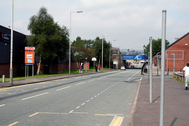
Image: © Dr Neil Clifton Taken: 8 Sep 2012
Looking north. Before the railway was opened, the road here ran through without a dip, but was lowered to give clearance underneath the railway. This left the shops and houses on this stretch of road on a high-level 'landing'.
Images are licensed for reuse under creativecommons.org/licenses/by-sa/2.0
Image Location
Latitude
53.611208
Longitude
-2.150202