B4368 heads east out of Craven Arms
Introduction
The photograph on this page of B4368 heads east out of Craven Arms by Jaggery as part of the Geograph project.
The Geograph project started in 2005 with the aim of publishing, organising and preserving representative images for every square kilometre of Great Britain, Ireland and the Isle of Man.

There are currently over 7.5m images from over 14,400 individuals and you can help contribute to the project by visiting https://www.geograph.org.uk
B4368 heads east out of Craven Arms
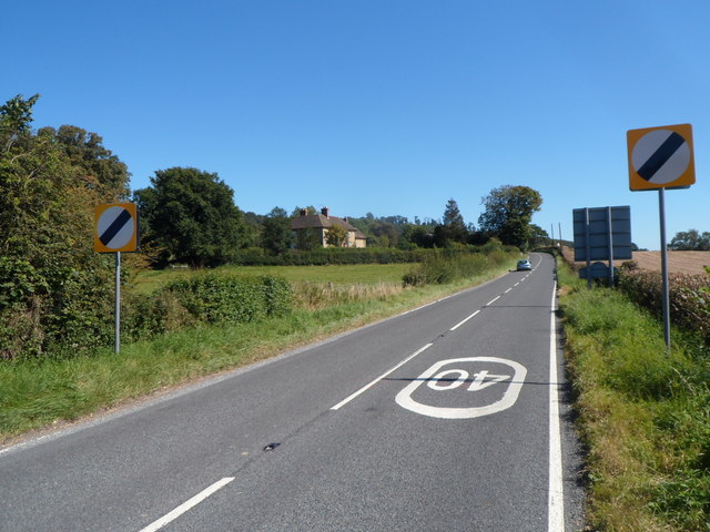
Image: © Jaggery Taken: 7 Sep 2012
The speed limit increases from 40mph to the National Speed Limit. The grey back of the Craven Arms boundary sign http://www.geograph.org.uk/photo/3120017 is on the right.
Images are licensed for reuse under creativecommons.org/licenses/by-sa/2.0
Image Location
Latitude
52.441363
Longitude
-2.82541