Reed Avenue, Canterbury
Introduction
The photograph on this page of Reed Avenue, Canterbury by David Kemp as part of the Geograph project.
The Geograph project started in 2005 with the aim of publishing, organising and preserving representative images for every square kilometre of Great Britain, Ireland and the Isle of Man.

There are currently over 7.5m images from over 14,400 individuals and you can help contribute to the project by visiting https://www.geograph.org.uk
Reed Avenue, Canterbury
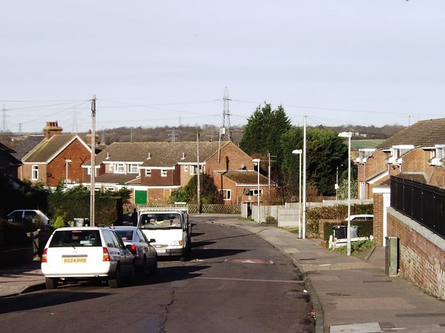
Image: © David Kemp Taken: 14 Jan 2007
Taken at the corner of Tennyson Avenue facing the junction of Reed Avenue and Field Avenue farther down the hill. The area is known variously as Poets Estate and Northgate Ward.
Images are licensed for reuse under creativecommons.org/licenses/by-sa/2.0
Image Location
Latitude
51.290677
Longitude
1.103389