Allans Hill radar station.
Introduction
The photograph on this page of Allans Hill radar station. by Des Colhoun as part of the Geograph project.
The Geograph project started in 2005 with the aim of publishing, organising and preserving representative images for every square kilometre of Great Britain, Ireland and the Isle of Man.

There are currently over 7.5m images from over 14,400 individuals and you can help contribute to the project by visiting https://www.geograph.org.uk
Allans Hill radar station.
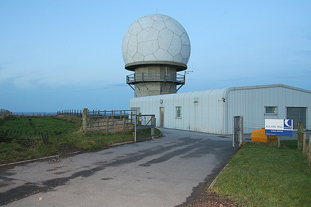
Image: © Des Colhoun Taken: 14 Jan 2007
The facility is run and maintained by NATS (National Air Traffic Service) and its purpose is to monitor the progress of mostly civilian airways traffic. It also provides a deconfliction service with the fairly intense military flying which the area frequently "enjoys".
Images are licensed for reuse under creativecommons.org/licenses/by-sa/2.0
Image Location


Leaflet Map data © OpenStreetMap
Latitude
57.643321
Longitude
-2.164482