Track and farm outbuildings, Mickley
Introduction
The photograph on this page of Track and farm outbuildings, Mickley by Andrew Hill as part of the Geograph project.
The Geograph project started in 2005 with the aim of publishing, organising and preserving representative images for every square kilometre of Great Britain, Ireland and the Isle of Man.

There are currently over 7.5m images from over 14,400 individuals and you can help contribute to the project by visiting https://www.geograph.org.uk
Track and farm outbuildings, Mickley
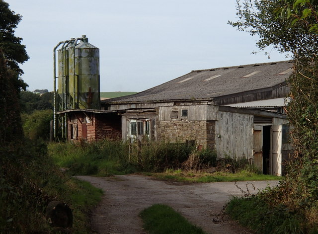
Image: © Andrew Hill Taken: 6 Sep 2012
The path to Fanshawe Gate Lane passes by the farm buildings.
Images are licensed for reuse under creativecommons.org/licenses/by-sa/2.0
Image Location
Latitude
53.30838
Longitude
-1.511163