Horsham: Barttelot Road
Introduction
The photograph on this page of Horsham: Barttelot Road by Nigel Cox as part of the Geograph project.
The Geograph project started in 2005 with the aim of publishing, organising and preserving representative images for every square kilometre of Great Britain, Ireland and the Isle of Man.

There are currently over 7.5m images from over 14,400 individuals and you can help contribute to the project by visiting https://www.geograph.org.uk
Horsham: Barttelot Road
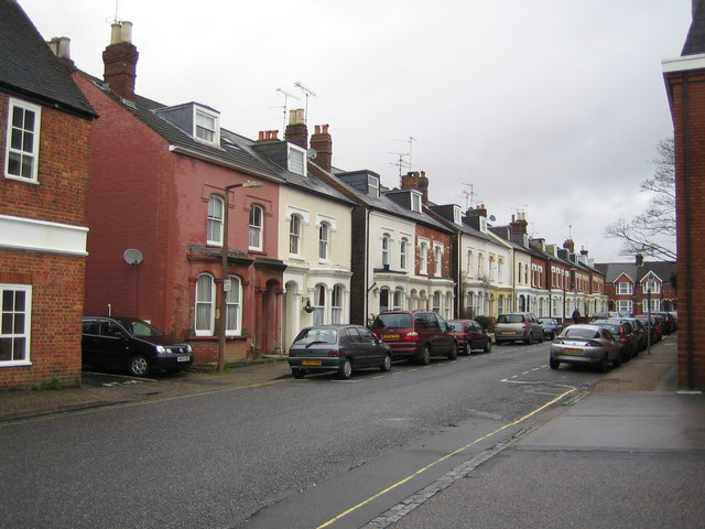
Image: © Nigel Cox Taken: 10 Jan 2007
This street is not shown on the OS map of 1880, and a nursery covers the area. Barttelot is a local family surname.
Images are licensed for reuse under creativecommons.org/licenses/by-sa/2.0
Image Location
Latitude
51.061824
Longitude
-0.324632