Depot Yard
Introduction
The photograph on this page of Depot Yard by Alan Murray-Rust as part of the Geograph project.
The Geograph project started in 2005 with the aim of publishing, organising and preserving representative images for every square kilometre of Great Britain, Ireland and the Isle of Man.

There are currently over 7.5m images from over 14,400 individuals and you can help contribute to the project by visiting https://www.geograph.org.uk
Depot Yard
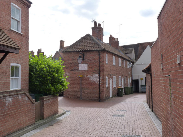
Image: © Alan Murray-Rust Taken: 31 Aug 2012
One of several yards connecting Kirk Gate with Slaughterhouse Lane. The row of cottages date from the late 18th century and are attached to and included in the listing for 31 Kirk Gate. Listed Grade II.
Images are licensed for reuse under creativecommons.org/licenses/by-sa/2.0
Image Location
Latitude
53.077625
Longitude
-0.809195