Blane's Lane
Introduction
The photograph on this page of Blane's Lane by Alan Hunt as part of the Geograph project.
The Geograph project started in 2005 with the aim of publishing, organising and preserving representative images for every square kilometre of Great Britain, Ireland and the Isle of Man.

There are currently over 7.5m images from over 14,400 individuals and you can help contribute to the project by visiting https://www.geograph.org.uk
Blane's Lane
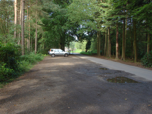
Image: © Alan Hunt Taken: 4 Sep 2012
The access road to Blane's Farm woodyard and mill from the A322. There is a public car park for Swinley Park alongside the lane.
Images are licensed for reuse under creativecommons.org/licenses/by-sa/2.0
Image Location
Latitude
51.394981
Longitude
-0.7062