Chesterfield Canal bridge 54B
Introduction
The photograph on this page of Chesterfield Canal bridge 54B by Graham Hogg as part of the Geograph project.
The Geograph project started in 2005 with the aim of publishing, organising and preserving representative images for every square kilometre of Great Britain, Ireland and the Isle of Man.

There are currently over 7.5m images from over 14,400 individuals and you can help contribute to the project by visiting https://www.geograph.org.uk
Chesterfield Canal bridge 54B
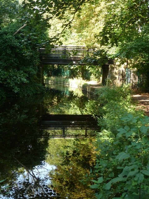
Image: © Graham Hogg Taken: 3 Sep 2012
A footbridge which connects two parts of Retford Cemetery
Images are licensed for reuse under creativecommons.org/licenses/by-sa/2.0
Image Location


Leaflet Map data © OpenStreetMap
Latitude
53.326132
Longitude
-0.957539