Saredon Brook
Introduction
The photograph on this page of Saredon Brook by John M as part of the Geograph project.
The Geograph project started in 2005 with the aim of publishing, organising and preserving representative images for every square kilometre of Great Britain, Ireland and the Isle of Man.

There are currently over 7.5m images from over 14,400 individuals and you can help contribute to the project by visiting https://www.geograph.org.uk
Saredon Brook
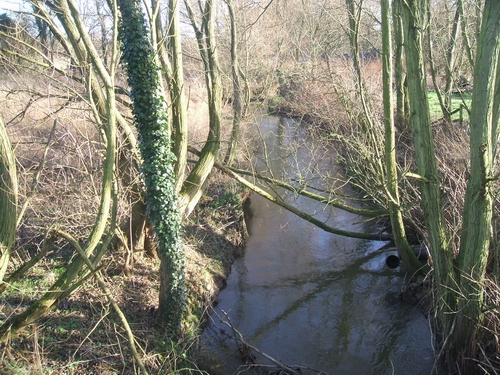
Image: © John M Taken: 14 Jan 2007
The Saredon Brook is a tributary of the River Penk in the River Trent catchment. The Saredon Brook powered a number of mills Image
Images are licensed for reuse under creativecommons.org/licenses/by-sa/2.0
Image Location
Latitude
52.676425
Longitude
-2.081155