Oak Lane Bridge View
Introduction
The photograph on this page of Oak Lane Bridge View by Gordon Griffiths as part of the Geograph project.
The Geograph project started in 2005 with the aim of publishing, organising and preserving representative images for every square kilometre of Great Britain, Ireland and the Isle of Man.

There are currently over 7.5m images from over 14,400 individuals and you can help contribute to the project by visiting https://www.geograph.org.uk
Oak Lane Bridge View
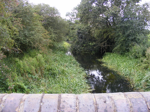
Image: © Gordon Griffiths Taken: 31 Aug 2012
The view west of the disused Hatherton Canal near Four Crosses, Staffordshire. The canal connected the Staffordshire and Worcestershire Canal to the Cannock Coalfields for 100 years until abandoned in 1955 due to mining subsidence.
Images are licensed for reuse under creativecommons.org/licenses/by-sa/2.0
Image Location
Latitude
52.6784
Longitude
-2.085004