Buxted High Street
Introduction
The photograph on this page of Buxted High Street by David Howard as part of the Geograph project.
The Geograph project started in 2005 with the aim of publishing, organising and preserving representative images for every square kilometre of Great Britain, Ireland and the Isle of Man.

There are currently over 7.5m images from over 14,400 individuals and you can help contribute to the project by visiting https://www.geograph.org.uk
Buxted High Street
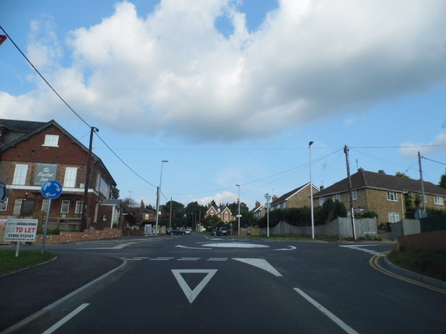
Image: © David Howard Taken: 3 Sep 2012
The mini roundabout is new and was built for access to the new housing development on the left. Previously this was the pub garden but despite still being in business they must have decided they'd earn more from selling the land than attracting more customers.
Images are licensed for reuse under creativecommons.org/licenses/by-sa/2.0
Image Location
Latitude
50.989537
Longitude
0.132301