Hurdlow Town
Introduction
The photograph on this page of Hurdlow Town by Roger Temple as part of the Geograph project.
The Geograph project started in 2005 with the aim of publishing, organising and preserving representative images for every square kilometre of Great Britain, Ireland and the Isle of Man.

There are currently over 7.5m images from over 14,400 individuals and you can help contribute to the project by visiting https://www.geograph.org.uk
Hurdlow Town
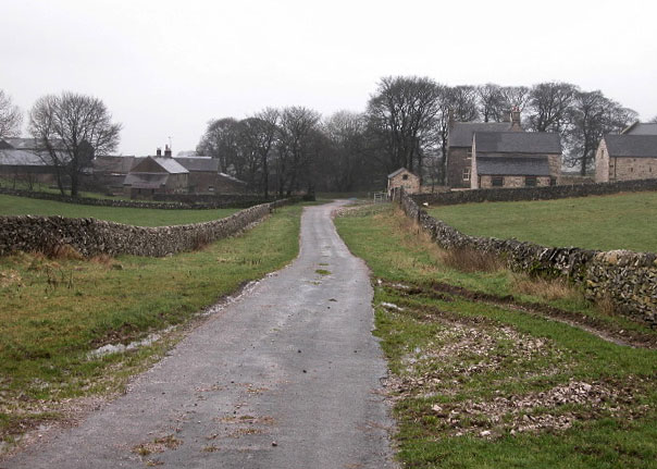
Image: © Roger Temple Taken: 13 Jan 2007
This 'town' consists of little more than 2 communities! On the left is Hurdlow Hall which is a farm and on the right is Hurdlow Grange which has been converted into holiday cottages.
Images are licensed for reuse under creativecommons.org/licenses/by-sa/2.0
Image Location


Leaflet Map data © OpenStreetMap
Latitude
53.197161
Longitude
-1.823928