Old Railway Bridge Near Stoney Low
Introduction
The photograph on this page of Old Railway Bridge Near Stoney Low by Glyn Baker as part of the Geograph project.
The Geograph project started in 2005 with the aim of publishing, organising and preserving representative images for every square kilometre of Great Britain, Ireland and the Isle of Man.

There are currently over 7.5m images from over 14,400 individuals and you can help contribute to the project by visiting https://www.geograph.org.uk
Old Railway Bridge Near Stoney Low
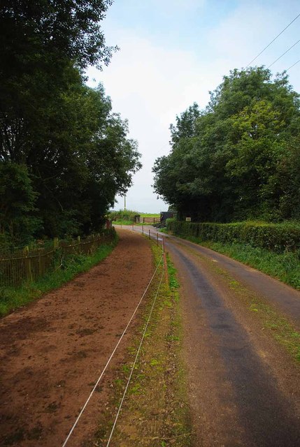
Image: © Glyn Baker Taken: 2 Sep 2012
I can't understand why the O.S maps don't show the railway as disused or dismantled. A look over the hedge into the deep cutting reveals large trees where the track should be. They have clearly not sprung up in a couple of years. Sadly the vegetation was far too dense to get a decent picture. 2013 Update... it seems The track is the remnant of the line between Market Drayton and Stoke. It was retained to serve the coal mine at Silverdale, but this pit closed in 1998. The link to the West Coast Main Line was severed by a derailed goods train in 2007."
Images are licensed for reuse under creativecommons.org/licenses/by-sa/2.0
Image Location
Latitude
52.991845
Longitude
-2.310425