Star Lane brickworks
Introduction
The photograph on this page of Star Lane brickworks by Julieanne Savage as part of the Geograph project.
The Geograph project started in 2005 with the aim of publishing, organising and preserving representative images for every square kilometre of Great Britain, Ireland and the Isle of Man.

There are currently over 7.5m images from over 14,400 individuals and you can help contribute to the project by visiting https://www.geograph.org.uk
Star Lane brickworks
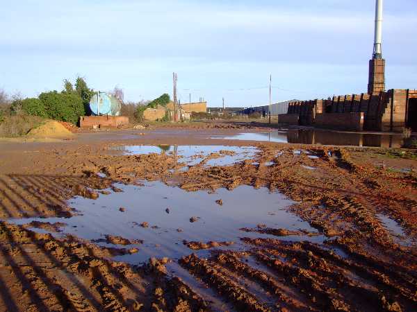
Image: © Julieanne Savage Taken: 14 Jan 2007
Here you can see just how muddy this place is, but the mud is a lovely rich orange colour, the same as the bricks. Brick making was the main industry during the Industrial Revolution and early 20th Century around this part of Great Wakering.
Images are licensed for reuse under creativecommons.org/licenses/by-sa/2.0
Image Location
Latitude
51.550617
Longitude
0.788384