Nun's Walk
Introduction
The photograph on this page of Nun's Walk by Simon Carey as part of the Geograph project.
The Geograph project started in 2005 with the aim of publishing, organising and preserving representative images for every square kilometre of Great Britain, Ireland and the Isle of Man.

There are currently over 7.5m images from over 14,400 individuals and you can help contribute to the project by visiting https://www.geograph.org.uk
Nun's Walk
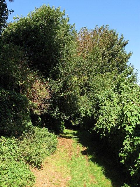
Image: © Simon Carey Taken: 31 Aug 2012
Footpath linking Image to Image and a case whereby a local name for a footpath eventually becomes the official one. The footpath skirted lands belonging to the former Convent of the Sacred Heart based in nearby Church Hill.
Images are licensed for reuse under creativecommons.org/licenses/by-sa/2.0
Image Location
Latitude
50.791232
Longitude
0.046642