Hill Crest Road
Introduction
The photograph on this page of Hill Crest Road by Simon Carey as part of the Geograph project.
The Geograph project started in 2005 with the aim of publishing, organising and preserving representative images for every square kilometre of Great Britain, Ireland and the Isle of Man.

There are currently over 7.5m images from over 14,400 individuals and you can help contribute to the project by visiting https://www.geograph.org.uk
Hill Crest Road
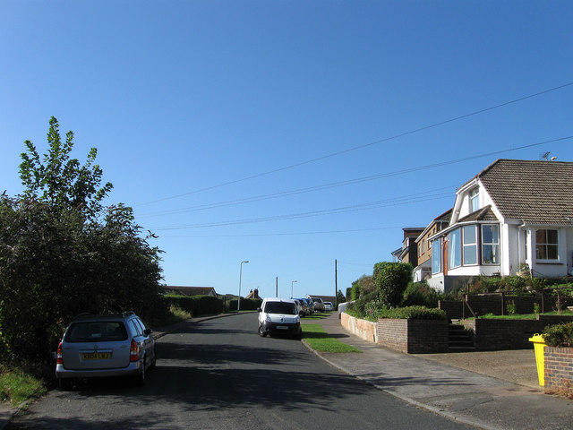
Image: © Simon Carey Taken: 31 Aug 2012
Laid out in the 1920s as the town of Newhaven expanded southward. It follows the contours of the hill the town is built on running south then west from Bayvue Road.
Images are licensed for reuse under creativecommons.org/licenses/by-sa/2.0
Image Location
Latitude
50.788923
Longitude
0.050088