River Mole Meander
Introduction
The photograph on this page of River Mole Meander by Martyn Davies as part of the Geograph project.
The Geograph project started in 2005 with the aim of publishing, organising and preserving representative images for every square kilometre of Great Britain, Ireland and the Isle of Man.

There are currently over 7.5m images from over 14,400 individuals and you can help contribute to the project by visiting https://www.geograph.org.uk
River Mole Meander
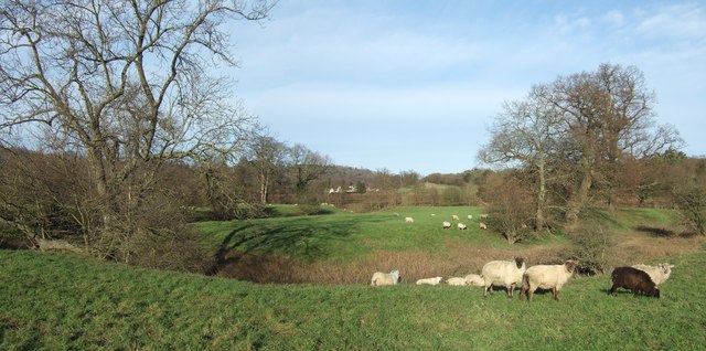
Image: © Martyn Davies Taken: 14 Jan 2007
This is the old course of the River Mole, now only an oxbow lake connected to the river at one end. It's not marked on the modern OS Explorer or Landranger maps, but can clearly be seen on the 1873 map at http://www.old-maps.co.uk/ , and also shows up well on GoogleEarth.
Images are licensed for reuse under creativecommons.org/licenses/by-sa/2.0
Image Location
Latitude
51.25799
Longitude
-0.333276