Hubberston Green, Milford Haven
Introduction
The photograph on this page of Hubberston Green, Milford Haven by Jaggery as part of the Geograph project.
The Geograph project started in 2005 with the aim of publishing, organising and preserving representative images for every square kilometre of Great Britain, Ireland and the Isle of Man.

There are currently over 7.5m images from over 14,400 individuals and you can help contribute to the project by visiting https://www.geograph.org.uk
Hubberston Green, Milford Haven
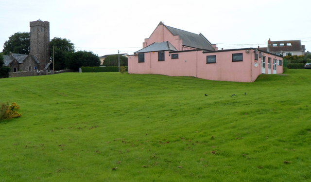
Image: © Jaggery Taken: 31 Aug 2012
In view are St David's Church http://www.geograph.org.uk/photo/3111598 and Hubberston Youth Centre. http://www.geograph.org.uk/photo/3111695 The village of Hubberston, now part of Milford Haven, was built around the church.
Images are licensed for reuse under creativecommons.org/licenses/by-sa/2.0
Image Location
Latitude
51.714739
Longitude
-5.055808