School House and Bloxworth Village Club
Introduction
The photograph on this page of School House and Bloxworth Village Club by Alan King as part of the Geograph project.
The Geograph project started in 2005 with the aim of publishing, organising and preserving representative images for every square kilometre of Great Britain, Ireland and the Isle of Man.

There are currently over 7.5m images from over 14,400 individuals and you can help contribute to the project by visiting https://www.geograph.org.uk
School House and Bloxworth Village Club
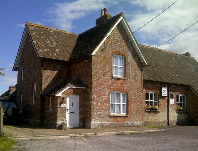
Image: © Alan King Taken: 18 Aug 2011
Former school converted to residential dwelling and Village Social club and Memorial Hall in the 1960's
Images are licensed for reuse under creativecommons.org/licenses/by-sa/2.0
Image Location
Latitude
50.751416
Longitude
-2.170192