Haven Way
Introduction
The photograph on this page of Haven Way by Simon Carey as part of the Geograph project.
The Geograph project started in 2005 with the aim of publishing, organising and preserving representative images for every square kilometre of Great Britain, Ireland and the Isle of Man.

There are currently over 7.5m images from over 14,400 individuals and you can help contribute to the project by visiting https://www.geograph.org.uk
Haven Way
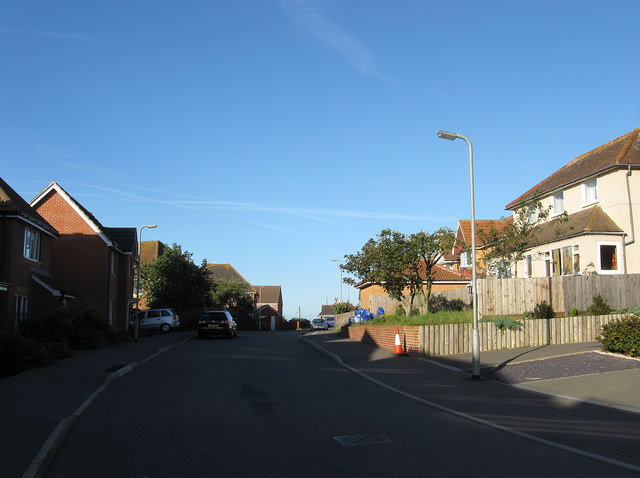
Image: © Simon Carey Taken: 31 Aug 2012
Part of a new estate built to the west of Tideway school in the early 00s. It was largely built upon the course of Pevensey Road which had been laid out in the 1920s as part of the Harbour Heights development which only resulted in a few scattered houses being built before 1939, one of which, Bleak House on the right, is now part of the new development.
Images are licensed for reuse under creativecommons.org/licenses/by-sa/2.0
Image Location
Latitude
50.78665
Longitude
0.036085