Bridge over River Mole
Introduction
The photograph on this page of Bridge over River Mole by Robin Webster as part of the Geograph project.
The Geograph project started in 2005 with the aim of publishing, organising and preserving representative images for every square kilometre of Great Britain, Ireland and the Isle of Man.

There are currently over 7.5m images from over 14,400 individuals and you can help contribute to the project by visiting https://www.geograph.org.uk
Bridge over River Mole
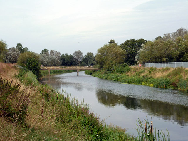
Image: © Robin Webster Taken: 1 Sep 2012
The bridge although mapped as a footbridge, is actually a vehicle bridge, but private and apparently part of the water company reservoir premises. The Mole sweeps round on an artificial course, to become the Ember after the Mole branches to the left beyond the bridge as a much less impressive waterway.
Images are licensed for reuse under creativecommons.org/licenses/by-sa/2.0
Image Location
Latitude
51.385638
Longitude
-0.374775