Forestry gate
Introduction
The photograph on this page of Forestry gate by Alan Hunt as part of the Geograph project.
The Geograph project started in 2005 with the aim of publishing, organising and preserving representative images for every square kilometre of Great Britain, Ireland and the Isle of Man.

There are currently over 7.5m images from over 14,400 individuals and you can help contribute to the project by visiting https://www.geograph.org.uk
Forestry gate
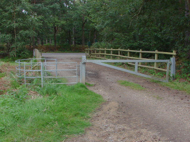
Image: © Alan Hunt Taken: 1 Sep 2012
The metal entrance gate to the Crown estates Swinley Forest off the B3017 which can be seen in the background. On the other side of the road is the Englemere Pond nature reserve.
Images are licensed for reuse under creativecommons.org/licenses/by-sa/2.0
Image Location
Latitude
51.407306
Longitude
-0.706715