Footpath, New Haw
Introduction
The photograph on this page of Footpath, New Haw by Alan Hunt as part of the Geograph project.
The Geograph project started in 2005 with the aim of publishing, organising and preserving representative images for every square kilometre of Great Britain, Ireland and the Isle of Man.

There are currently over 7.5m images from over 14,400 individuals and you can help contribute to the project by visiting https://www.geograph.org.uk
Footpath, New Haw
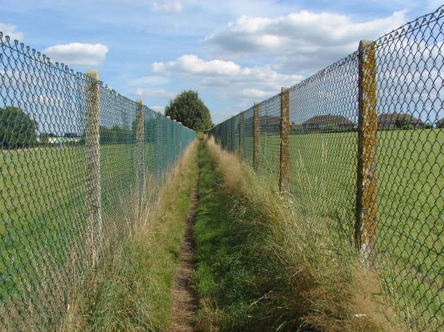
Image: © Alan Hunt Taken: 31 Aug 2012
The footpath from the end of Grange Road towards Rowtown. Walkers can be confident of protection from marauding herds of sheep by dint of the erection of 6 foot high chain link fences along the full length of the footpaths in this area.
Images are licensed for reuse under creativecommons.org/licenses/by-sa/2.0
Image Location
Latitude
51.352473
Longitude
-0.504336