Marine Drive, Rookery Hill
Introduction
The photograph on this page of Marine Drive, Rookery Hill by Simon Carey as part of the Geograph project.
The Geograph project started in 2005 with the aim of publishing, organising and preserving representative images for every square kilometre of Great Britain, Ireland and the Isle of Man.

There are currently over 7.5m images from over 14,400 individuals and you can help contribute to the project by visiting https://www.geograph.org.uk
Marine Drive, Rookery Hill
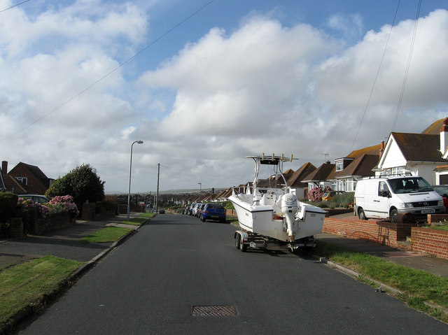
Image: © Simon Carey Taken: 28 Aug 2012
Laid out in the late 1930s as part of a planned estate that was halted due to the outbreak of the Second World War then stalled by tougher planning laws after. However, during the early 1970s the remainder of the state was completed. Where Marine Drive once came to a dead end it now finishes at a junction with St Margaret's Rise.
Images are licensed for reuse under creativecommons.org/licenses/by-sa/2.0
Image Location
Latitude
50.786395
Longitude
0.076083