Solar Farm, Six Mile Bottom
Introduction
The photograph on this page of Solar Farm, Six Mile Bottom by Hugh Venables as part of the Geograph project.
The Geograph project started in 2005 with the aim of publishing, organising and preserving representative images for every square kilometre of Great Britain, Ireland and the Isle of Man.

There are currently over 7.5m images from over 14,400 individuals and you can help contribute to the project by visiting https://www.geograph.org.uk
Solar Farm, Six Mile Bottom
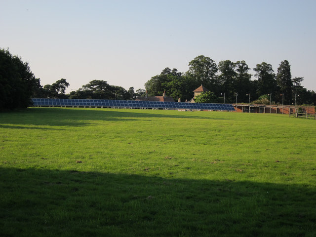
Image: © Hugh Venables Taken: 26 Jul 2012
Sizeable array on a south facing slope. Arrays on houses are now a common sight as are, increasingly, larger arrays.
Images are licensed for reuse under creativecommons.org/licenses/by-sa/2.0
Image Location
Latitude
52.188545
Longitude
0.308733