Knob Hill Road
Introduction
The photograph on this page of Knob Hill Road by Andrew Tatlow as part of the Geograph project.
The Geograph project started in 2005 with the aim of publishing, organising and preserving representative images for every square kilometre of Great Britain, Ireland and the Isle of Man.

There are currently over 7.5m images from over 14,400 individuals and you can help contribute to the project by visiting https://www.geograph.org.uk
Knob Hill Road
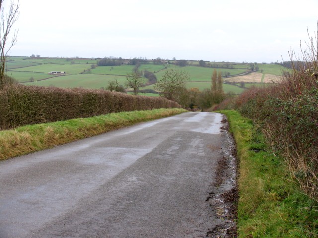
Image: © Andrew Tatlow Taken: 13 Dec 2006
Uppingham is just over the top of the hill. The B664 winds its way down King's Hill Image in the background.
Images are licensed for reuse under creativecommons.org/licenses/by-sa/2.0
Image Location


Leaflet Map data © OpenStreetMap
Latitude
52.57533
Longitude
-0.780053