Junction of Station Road and Owmby Lane
Introduction
The photograph on this page of Junction of Station Road and Owmby Lane by David Wright as part of the Geograph project.
The Geograph project started in 2005 with the aim of publishing, organising and preserving representative images for every square kilometre of Great Britain, Ireland and the Isle of Man.

There are currently over 7.5m images from over 14,400 individuals and you can help contribute to the project by visiting https://www.geograph.org.uk
Junction of Station Road and Owmby Lane
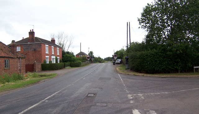
Image: © David Wright Taken: 26 Jun 2006
Photo taken looking towards level crossing. Owmby Lane is the turning on the right of the picture. The house is "The Poplars" and falls in TA0701. The level crossing is in TA0601.
Images are licensed for reuse under creativecommons.org/licenses/by-sa/2.0
Image Location


Leaflet Map data © OpenStreetMap
Latitude
53.501658
Longitude
-0.388156