Enmore Road
Introduction
The photograph on this page of Enmore Road by Richard Webb as part of the Geograph project.
The Geograph project started in 2005 with the aim of publishing, organising and preserving representative images for every square kilometre of Great Britain, Ireland and the Isle of Man.

There are currently over 7.5m images from over 14,400 individuals and you can help contribute to the project by visiting https://www.geograph.org.uk
Enmore Road
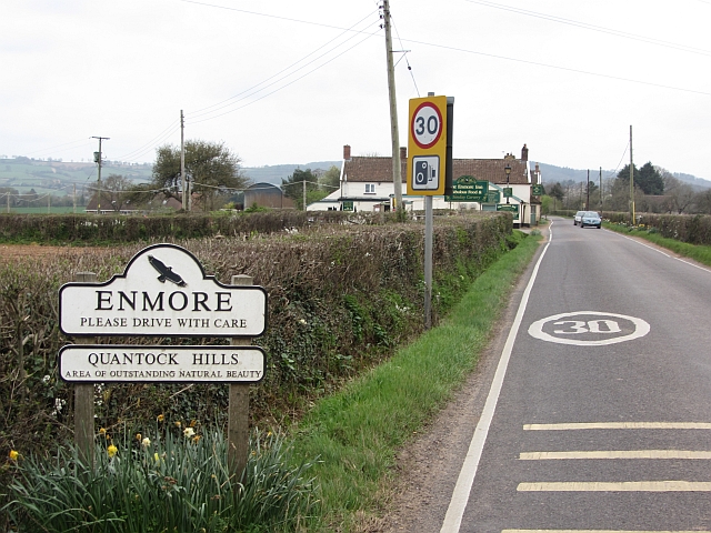
Image: © Richard Webb Taken: 31 Mar 2012
On the way to the Quantock Hills from Bridgwater with the start of a 30mph zone. Enmore is a somewhat straggly village.
Images are licensed for reuse under creativecommons.org/licenses/by-sa/2.0
Image Location
Latitude
51.116876
Longitude
-3.058035