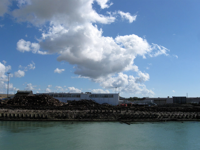
Railway Quay
Introduction
The photograph on this page of Railway Quay by Simon Carey as part of the Geograph project.
The Geograph project started in 2005 with the aim of publishing, organising and preserving representative images for every square kilometre of Great Britain, Ireland and the Isle of Man.
There are currently over 7.5m images from over 14,400 individuals and you can help contribute to the project by visiting https://www.geograph.org.uk

Image: © Simon Carey Taken: 26 Aug 2012
Developed in the 1860s when a meander was straightened and filled in though the land remained empty until the 1880s when extensive sidings and port facilities were added. Since the 1960s all of these have disappeared and the quay had gradually become more and more derelict and is still awaiting development. From June this year the Port Authority has begun work to remove all the rotten pilings between the swing bridge and the number two ramp of the ferry terminal. The piles of removed timber can be seen on the quay. Also in the water just visible as the tide gets lower is the remains of the gridiron built in the past for mooring boats to allow work on their hulls in the harbour when the tide dropped sufficiently. The white building is the ferry terminal.

