Fort Road
Introduction
The photograph on this page of Fort Road by Simon Carey as part of the Geograph project.
The Geograph project started in 2005 with the aim of publishing, organising and preserving representative images for every square kilometre of Great Britain, Ireland and the Isle of Man.

There are currently over 7.5m images from over 14,400 individuals and you can help contribute to the project by visiting https://www.geograph.org.uk
Fort Road
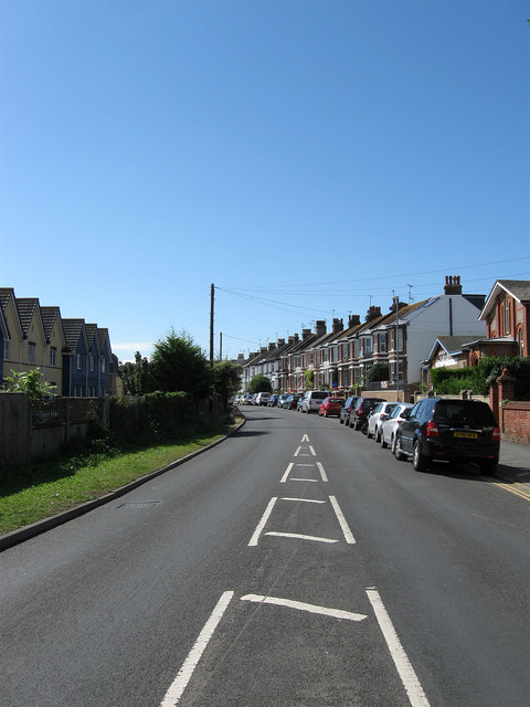
Image: © Simon Carey Taken: 26 Aug 2012
The road leading south to the fort and west beach. The houses to the left are the rear of Image whilst the long terrace on the right was constructed towards the end of the 19th century.
Images are licensed for reuse under creativecommons.org/licenses/by-sa/2.0
Image Location
Latitude
50.788988
Longitude
0.05151