Disconnected former section of the A371, Weston-super-Mare
Introduction
The photograph on this page of Disconnected former section of the A371, Weston-super-Mare by Jaggery as part of the Geograph project.
The Geograph project started in 2005 with the aim of publishing, organising and preserving representative images for every square kilometre of Great Britain, Ireland and the Isle of Man.

There are currently over 7.5m images from over 14,400 individuals and you can help contribute to the project by visiting https://www.geograph.org.uk
Disconnected former section of the A371, Weston-super-Mare
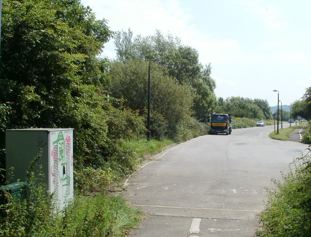
Image: © Jaggery Taken: 27 Jul 2011
Viewed from a cycleway and footpath under the A370. The road ahead, now used as a layby, was formerly part of the A371. It became disconnected when the route of the A371 was realigned to join the newly-built A370 and Airport Roundabout.
Images are licensed for reuse under creativecommons.org/licenses/by-sa/2.0
Image Location


Leaflet Map data © OpenStreetMap
Latitude
51.344177
Longitude
-2.933755