South Way
Introduction
The photograph on this page of South Way by Simon Carey as part of the Geograph project.
The Geograph project started in 2005 with the aim of publishing, organising and preserving representative images for every square kilometre of Great Britain, Ireland and the Isle of Man.

There are currently over 7.5m images from over 14,400 individuals and you can help contribute to the project by visiting https://www.geograph.org.uk
South Way
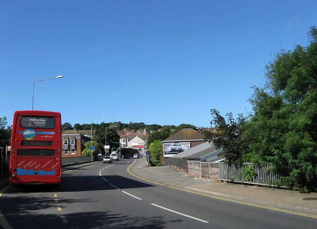
Image: © Simon Carey Taken: 26 Aug 2012
The southern part of the ring road that bypasses the centre of Newhaven for traffic travelling west. When constructed in the 1970s the road utilised a couple of already existing roads; Meeching Avenue and part of Meeching Rise, then demolished Dacre Road, Church Road and Sussex Place before utilising the open space left by the route of the old shingle railway that once linked Newhaven Town station to the beach beneath Castle Hill. In the process Chapel Street was split in two access provided by an underpass.
Images are licensed for reuse under creativecommons.org/licenses/by-sa/2.0
Image Location
Latitude
50.793506
Longitude
0.050289