Public footpath north of Bracebridge Heath
Introduction
The photograph on this page of Public footpath north of Bracebridge Heath by Trevor Rickard as part of the Geograph project.
The Geograph project started in 2005 with the aim of publishing, organising and preserving representative images for every square kilometre of Great Britain, Ireland and the Isle of Man.

There are currently over 7.5m images from over 14,400 individuals and you can help contribute to the project by visiting https://www.geograph.org.uk
Public footpath north of Bracebridge Heath
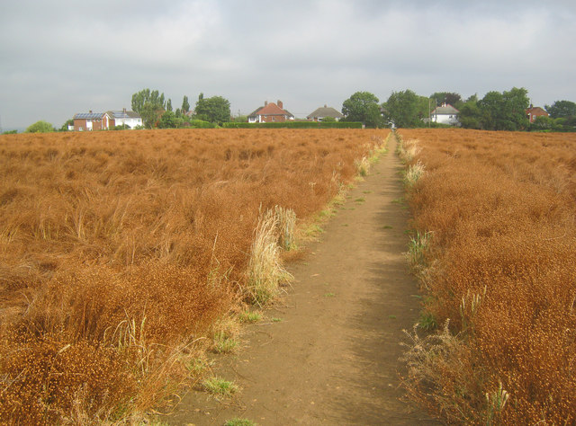
Image: © Trevor Rickard Taken: 5 Aug 2012
View north along a well-defined path leading to houses on Coningsby Crescent. The crop here is linseed, which looks ready for harvest.
Images are licensed for reuse under creativecommons.org/licenses/by-sa/2.0
Image Location
Latitude
53.202183
Longitude
-0.539252