Footpath and map
Introduction
The photograph on this page of Footpath and map by Ian Capper as part of the Geograph project.
The Geograph project started in 2005 with the aim of publishing, organising and preserving representative images for every square kilometre of Great Britain, Ireland and the Isle of Man.

There are currently over 7.5m images from over 14,400 individuals and you can help contribute to the project by visiting https://www.geograph.org.uk
Footpath and map
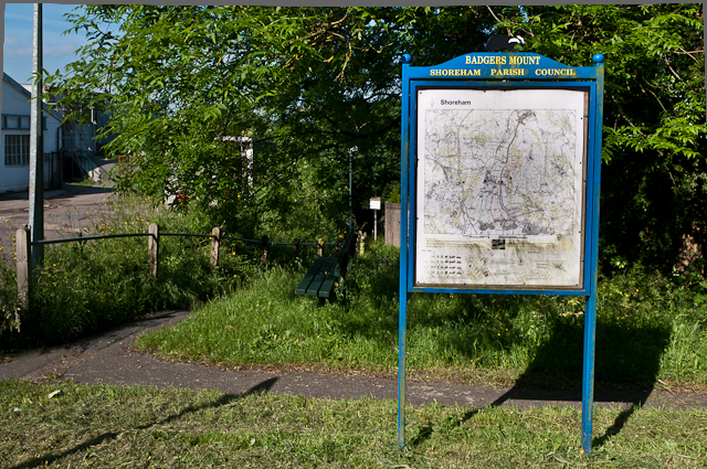
Image: © Ian Capper Taken: 14 Jun 2012
Shoreham Parish Council have kindly provided a map at Badgers Mount. On the left is a footpath to Old London Road - see Image for close up of sign visible in the background next to the map.
Images are licensed for reuse under creativecommons.org/licenses/by-sa/2.0
Image Location
Latitude
51.339877
Longitude
0.144759