Grosvenor Road, Bournemouth
Introduction
The photograph on this page of Grosvenor Road, Bournemouth by Malc McDonald as part of the Geograph project.
The Geograph project started in 2005 with the aim of publishing, organising and preserving representative images for every square kilometre of Great Britain, Ireland and the Isle of Man.

There are currently over 7.5m images from over 14,400 individuals and you can help contribute to the project by visiting https://www.geograph.org.uk
Grosvenor Road, Bournemouth
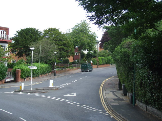
Image: © Malc McDonald Taken: 17 Aug 2012
Grosvenor Road, a residential road in Bournemouth. This image was taken from the upper deck of an open-top bus which runs during summer months on route 50, linking Bournemouth with Swanage. More information about the buses is available here: http://www.morebus.co.uk/purbeck-breezers.shtml
Images are licensed for reuse under creativecommons.org/licenses/by-sa/2.0
Image Location


Leaflet Map data © OpenStreetMap
Latitude
50.718406
Longitude
-1.901216