Trans Pennine Trail, east of Chesterfield
Introduction
The photograph on this page of Trans Pennine Trail, east of Chesterfield by Christine Johnstone as part of the Geograph project.
The Geograph project started in 2005 with the aim of publishing, organising and preserving representative images for every square kilometre of Great Britain, Ireland and the Isle of Man.

There are currently over 7.5m images from over 14,400 individuals and you can help contribute to the project by visiting https://www.geograph.org.uk
Trans Pennine Trail, east of Chesterfield
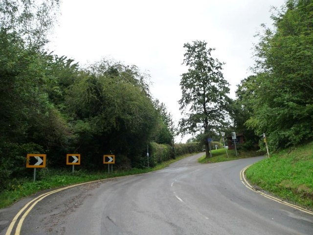
Image: © Christine Johnstone Taken: 27 Aug 2012
Heading straight on into the golf course, as Crow Lane bends right [east] at the 88 metre spot height.
Images are licensed for reuse under creativecommons.org/licenses/by-sa/2.0
Image Location
Latitude
53.239184
Longitude
-1.415308