Marine Drive
Introduction
The photograph on this page of Marine Drive by Simon Carey as part of the Geograph project.
The Geograph project started in 2005 with the aim of publishing, organising and preserving representative images for every square kilometre of Great Britain, Ireland and the Isle of Man.

There are currently over 7.5m images from over 14,400 individuals and you can help contribute to the project by visiting https://www.geograph.org.uk
Marine Drive
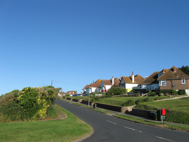
Image: © Simon Carey Taken: 26 Aug 2012
The only vehicular entrance to the Rookery Hill estate. The road was laid out in the late 1930s as part of a plan to build a new coastal town around the village of Bishopstone. However, the outbreak of the war halted proceedings and a mixture of material shortages and tougher planning laws prevented the original plans from being implemented. During the 1960s vacant plots along this road, Bishopstone Road and Rookery Way were filled in and in the following decade the rest of the estate was completed.
Images are licensed for reuse under creativecommons.org/licenses/by-sa/2.0
Image Location
Latitude
50.783381
Longitude
0.078645