Lane junction, Moortown
Introduction
The photograph on this page of Lane junction, Moortown by Derek Harper as part of the Geograph project.
The Geograph project started in 2005 with the aim of publishing, organising and preserving representative images for every square kilometre of Great Britain, Ireland and the Isle of Man.

There are currently over 7.5m images from over 14,400 individuals and you can help contribute to the project by visiting https://www.geograph.org.uk
Lane junction, Moortown
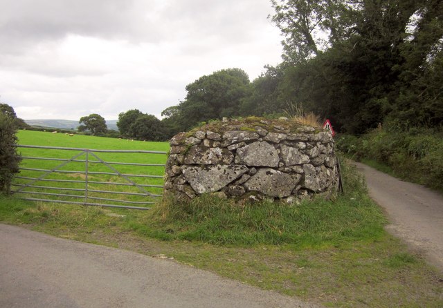
Image: © Derek Harper Taken: 26 Aug 2012
The lane east of Moortown splits here; right is for Chapple, left for Forder. The Mariner's Way keeps right.
Images are licensed for reuse under creativecommons.org/licenses/by-sa/2.0
Image Location
Latitude
50.685498
Longitude
-3.889746